
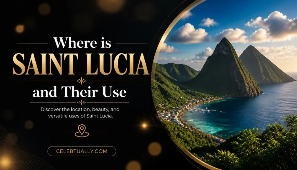

Saint Lucia is a small island country in the eastern Caribbean Sea, part of the Windward Islands group in the Lesser Antilles. It sits between Martinique to the north and Saint Vincent to the south. Its capital, Castries, sits on the island’s northwest coast.
Quick Answer
- Region: Eastern Caribbean Sea, part of the Windward Islands in the Lesser Antilles
- Coordinates: About 13°53′N, 60°58′W
- Nearest neighbors: Martinique (north), Saint Vincent (south), Barbados (southeast)
- Capital: Castries
- Size: About 616 square kilometers (238 square miles), roughly 43 km long and 23 km wide
- Official language: English
Quick Facts Table
| Detail | Information |
|---|---|
| Sea/Ocean | Caribbean Sea, bordering the Atlantic Ocean |
| Island group | Windward Islands, Lesser Antilles |
| Coordinates | 13°53′N, 60°58′W |
| North of | Saint Vincent (about 21 miles) |
| South of | Martinique (about 24 miles) |
| Capital city | Castries |
| Land area | 616 km² (238 sq mi) |
| Official language | English |
| Time zone | UTC-4 (Eastern Caribbean Time, no daylight saving) |
Where Saint Lucia Sits in the Caribbean
Saint Lucia is one island in a long chain called the Lesser Antilles, which curves from Puerto Rico down to Venezuela. Within that chain, it belongs to a smaller cluster known as the Windward Islands, according to Britannica. Martinique lies about 24 miles north across a strait, and Saint Vincent sits about 21 miles to the south. Barbados is further out to the southeast, across open Atlantic water rather than the calmer Caribbean side.
The island itself is volcanic. Its interior is mountainous, with the twin peaks called the Pitons rising near the town of Soufrière on the west coast. The highest point on the island is Mount Gimie, according to geographic data compiled on Wikipedia’s Saint Lucia geography page.
How to Get There
Saint Lucia has two airports that handle international flights. Hewanorra International Airport sits in the south near Vieux Fort and handles most long-haul international traffic. George F. L. Charles Airport is smaller and closer to Castries in the north, used mainly for flights within the Caribbean region, per Wikipedia’s tourism-in-Saint-Lucia entry.
Capital and Major Towns
Castries is the capital and largest city, built around a natural harbor on the island’s northwest coast. Other notable towns include Gros Islet in the north, known for its beaches and weekly street parties, and Soufrière on the west coast, near the Pitons. Vieux Fort sits at the island’s southern tip.
FAQs
What ocean or sea is Saint Lucia in?
Saint Lucia sits in the eastern Caribbean Sea, close to the boundary where the Caribbean meets the Atlantic Ocean.
Is Saint Lucia part of the Lesser Antilles?
Yes. It belongs to the Windward Islands, a subgroup within the Lesser Antilles chain.
What countries are near Saint Lucia?
Martinique lies to the north, Saint Vincent to the south, and Barbados to the southeast.
What is the capital of Saint Lucia?
Castries, located on the northwest coast.
How big is Saint Lucia?
About 616 square kilometers (238 square miles), making it roughly four times smaller than Rhode Island, per GraphicMaps’ geographic comparison.
What language do people speak in Saint Lucia?
English is the official language. French-based Kwéyòl (patois) is also widely spoken, per Britannica.
Does Saint Lucia have direct international flights?
Yes, through Hewanorra International Airport near Vieux Fort, which handles most long-haul routes.
Key Takeaways
- Saint Lucia is a volcanic island in the eastern Caribbean, part of the Windward Islands in the Lesser Antilles.
- It sits between Martinique to the north and Saint Vincent to the south.
- The capital is Castries, on the island’s northwest coast.
- The island covers about 616 square kilometers and has two international airports.
Conclusion
Saint Lucia’s location — a small volcanic island between Martinique and Saint Vincent in the eastern Caribbean — is well documented and unlikely to be a point of dispute across sources. The figures above come from Britannica, Wikipedia’s geography and tourism entries, and GraphicMaps.
For more knowledgeable blog…

Celebtually is your go-to destination for celebrity news, lifestyle stories, entertainment updates, and fascinating insights into the lives of famous personalities. We bring you engaging, informative, and easy-to-read content covering celebrities, their careers, achievements, and personal journeys.